

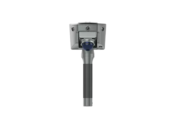
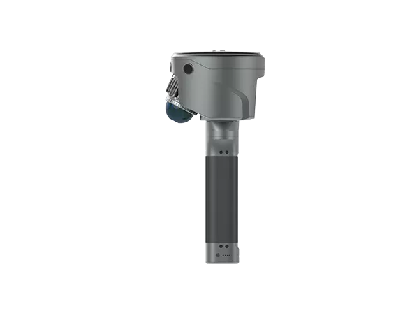
Description
1. New Image Measurement Experience
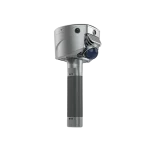
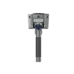
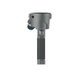
With three HD cameras and SLAM integration, the SL9 lets you measure in real-time—just select the target point in the image to get its 3D coordinates. Achieve 2–5 cm accuracy within 15 meters using the Satsurv app.
2. Boundaryless Surveying with SLAM-Fix Tech
smartly switches between RTK and SLAM. Get reliable coordinates even under bridges, eaves, or indoors—no signal, no problem.
3. Unified Coordinate System
No more stitching data. keeps your coordinates unified across environments—no control points, no loop closure, no hassle.
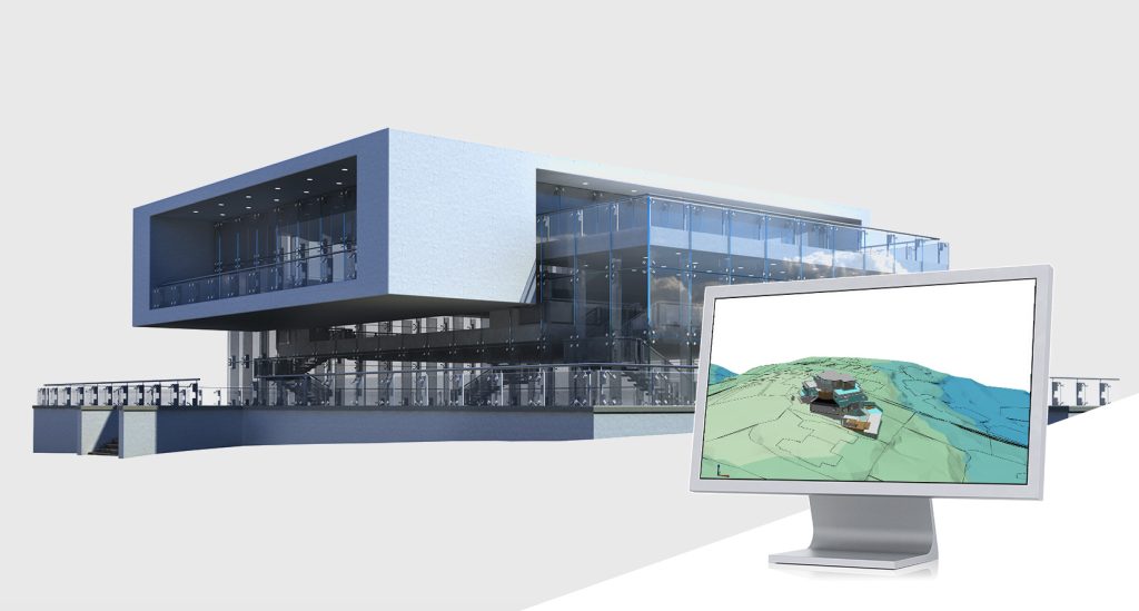
4. Fast & Easy Volume Calculation
Instantly generate 3D terrain and calculate volumes right on-site using the Android-based Satsurv app.
5. Reliable Signal, High-Quality Data
Track all major constellations with superior performance in tough environments, achieving centimeter-level accuracy.
6. Precision Post-Processing with Sat-LiDAR
Post-process your data with Sat-LiDAR for <2 cm thickness and <1 cm accuracy. The software supports tunnel excavation analysis, progress monitoring, and acceptance checks. It also aids renovation projects with cross-section, plan, and elevation outputs.
7. Applications
Semi-Open Environment Surveys; 3D Facility Mapping; Engineering Surveys
Case Study
- Complex Building Survey in a Forested Area Using SLAM RTK
- Large Factory As-Built Verification with SLAM RTK
- Two Hours on Foot into a Colombian Cave, Captured the Space in 3D
Reviews
There are no reviews yet.